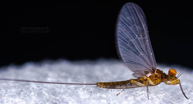
Blue-winged Olives
Baetis
Tiny Baetis mayflies are perhaps the most commonly encountered and imitated by anglers on all American trout streams due to their great abundance, widespread distribution, and trout-friendly emergence habits.
Featured on the forum
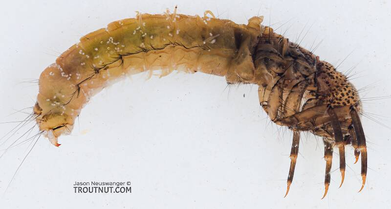
This one was surprisingly straightforward to identify. The lack of a sclerite at the base of the lateral hump narrows the field quite a bit, and the other options followed fairly obvious characteristics to Clostoeca, which only has one species, Clostoeca disjuncta.
Troutnut is a project started in 2003 by salmonid ecologist Jason "Troutnut" Neuswanger to help anglers and
fly tyers unabashedly embrace the entomological side of the sport. Learn more about Troutnut or
support the project for an enhanced experience here.
Jtberez on Jun 19, 2009June 19th, 2009, 1:52 pm EDT
Today I underwent surgery on my labrum(shoulder) and will be not casting loops for quite some time. I've decided on using the down time to locate some new wild repro streams and am having trouble finding a map of the area(s) I have in mind. I'm a college student paying loans and all of my spare spending money, yes, even the measly 20 dollars it takes to buy a gazetteer or other quality maps, is being saved for a new 7wt for steel and salmon, every penny counts! Do any of you know of any sites with more detailed maps than the pfbc provides that are free?
CaseyP on Jun 19, 2009June 19th, 2009, 5:14 pm EDT
Google Earth
start with the pafb, then google earth it.
before we go to a new stream, i google earth it to figure out how to get there and where it flows. zoom in and out, and it's like flying over the terrain. you can turn on and off the roads/map/satellite function to show just what you want and not what you don't. it's not exactly like having topographical maps, but it's sure informative--to a point. none of the images are especially up-to-date, and in some places the resolution is pretty poor, keeping you further away than you might like. but it sure is fun!
"You can observe a lot by watching." Yogi Berra
Gentleshep on Jul 9, 2009July 9th, 2009, 2:17 pm EDT
I use this site for some nice maps: http://mapper.acme.com/?ll=40.53409,-76.89829&z=15&t=R
I will also try to dig up a list of reproduction streams that I have and post that also. Hope you are feeling better.
I will also try to dig up a list of reproduction streams that I have and post that also. Hope you are feeling better.
Gentleshep on Jul 9, 2009July 9th, 2009, 2:20 pm EDT
Found the reproduction list as of May 15, 2009
http://www.fish.state.pa.us/trout_repro.pdf
This should help you out even more. The GPS coordinates don't seem to be correct though.
http://www.fish.state.pa.us/trout_repro.pdf
This should help you out even more. The GPS coordinates don't seem to be correct though.
Quick Reply
Related Discussions
Topic
Replies
Last Reply
3
May 19, 2020
by Jmd123
by Jmd123

